Hurricane Beryl batters Caribbean with Category 4 winds
Hurricane Beryl destroyed homes on islands from Grenada to St Lucia. Authorities have warned people to exercise caution over the coming days because the storm could strengthen to a Category 5 hurricane.
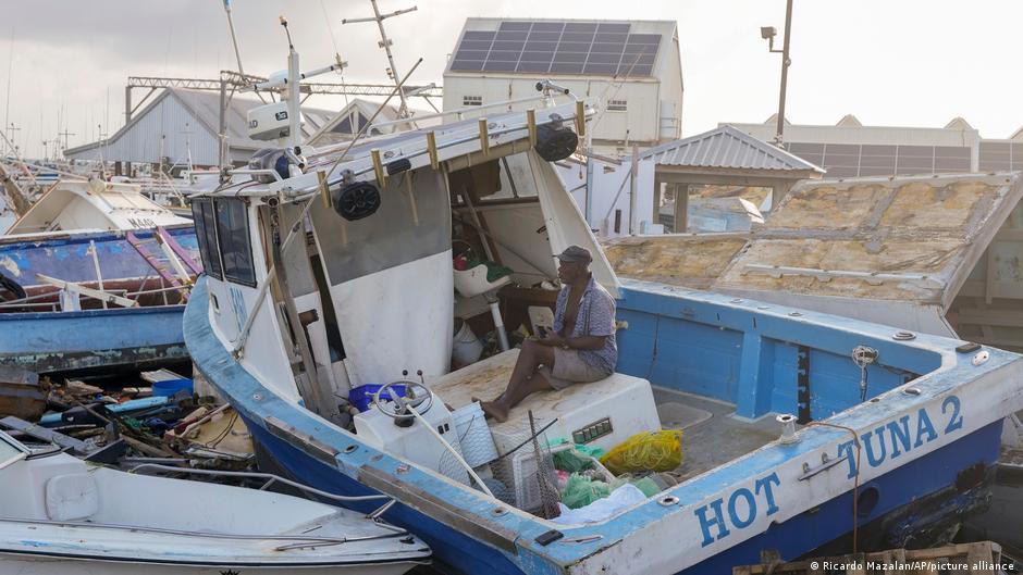
Hurricane Beryl disrupted some fishing activity
Hurricane Beryl left a trail of destruction across the Caribbean after it made landfall on Monday.
The Category 4 storm ripped doors off their frames, shattered windows and upended roofs off people's homes, scattering debris from Grenada up to St Lucia.
"This is an extremely dangerous and life-threatening situation. Take action now to protect your life!" the US National Hurricane Center said on Monday.
"Beryl is expected to remain an extremely dangerous major hurricane as it moves across the Caribbean Sea later this week."
Late on Monday night, it added: "Beryl is now a potentially catastrophic Category 5 hurricane."
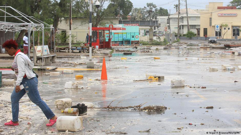
Hurricane Beryl left debris strewn across Barbados and other islands in the Lesser Antilles
Authorities on other Caribbean countries have issued warnings as Beryl moves north, including a hurricane warning in Jamaica and a tropical storm warning in Haiti.
"We have to wait this monster out," said St Vincent and the Grenadines' Prime Minister Ralph Gonsalves.
The National Hurricane Center added that "Beryl is expected to remain an extremely dangerous major hurricane as its moves."
Unseasonably strong
Beryl is the first Category 4 storm of the 2024 hurricane season. It is also the first hurricane recorded by the NHC to reach this intensity in June.
"Only five major (Category 3+) hurricanes have been recorded in the Atlantic before the first week of July," hurricane expert Michael Lowry said on social media.
Experts said the unusual weather pattern was a result of climate change.
"Climate change is loading the dice for more intense hurricanes to form," Christopher Rozoff from the National Center for Atmospheric Research told Reuters.
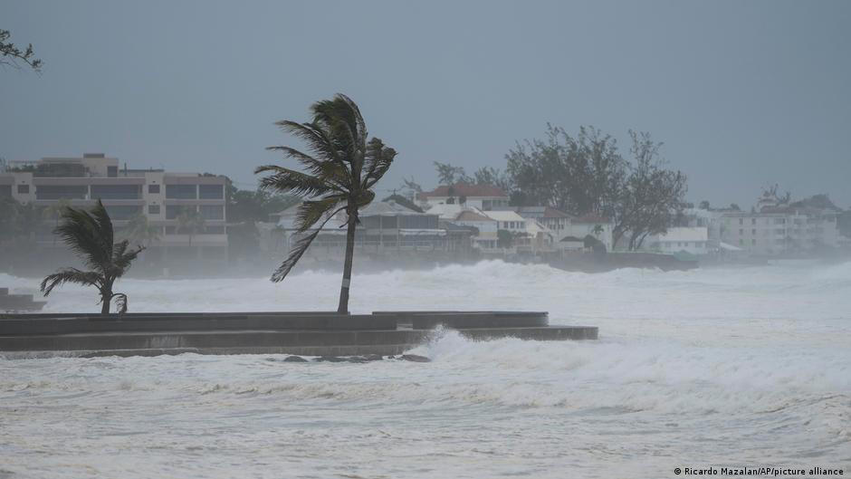
Hurricane Beryl was unusually powerful for the time year
Wild weather like this is predicted to continue in future.
"This is the type of storm that we expect this year, these outlier things that happen when and where they shouldn't," University of Miami tropical weather researcher Brian McNoldy told the Associated Press.
"Not only for things to form and intensify and reach higher intensities, but increase the likelihood of rapid intensification. All of that is just coming together right now, and this won't be the last time."
zc/rm (AP, Reuters, AFP)