Weather warning issued for four counties as thunderstorms set to bring an end to glorious spell
The fine weather is expected to end on Sunday
A weather warning has been issued for four counties in Northern Ireland as the fine spell we’re currently experiencing looks set to come to an end on Sunday.
The Met Office has issued a Status Yellow thunderstorm warning for Armagh, Fermanagh, Tyrone and Derry, which will come into effect at 11am on Sunday morning and remain in place until 7pm on Sunday evening.
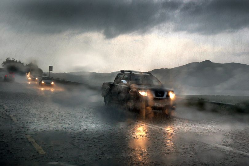
The warning flags that there will be heavy showers and that isolated thunderstorms may develop across western Northern Ireland during the day on Sunday.
As of yet, there has been no warnings issued by Met Éireann for counties in the Republic of Ireland, but the forecaster has warned of the “possibility of thunderstorms” on Sunday, as well as “outbreaks of heavy showers” and generally cooler conditions than we’ve experienced in recent days.
Before that, another glorious day is in store on Saturday with highs of 22 degrees, following on from the hottest day of the year so far on Friday, when temperatures tipped above 24 degrees during the afternoon.
Check out the Met Éireann forecast for the coming days below.
Friday night
Tonight will be dry with clear spells. Patches of mist and fog will develop in the south early in the night and more widely overnight. Lowest temperatures of 7 to 10 degrees with light variable breezes.
Saturday
On Saturday morning, patches of mist and fog will clear. It will be another warm and dry day with good spells of sunshine. In the evening, cloud will increase from the west and some showers will develop in the northwest. Highest temperatures of 18 to 22 degrees with moderate southerly breezes.
On Saturday night, cloud will increase and showers will develop overnight, mainly over the western half of the country. Lowest temperatures of 9 to 12 degrees with light variable breezes.
Sunday
Sunday will bring a mix of cloud and sunny spells with showers or longer spells of rain, some heavy with the chance of isolated thunderstorms. Highest temperatures of 15 to 19 degrees in light and variable breezes. On Sunday night, showers will gradually die out. However, rain will move in from the southwest by morning. Lowest temperatures of 8 to 11 degrees with light breezes.
Monday
Monday will bring further outbreaks of rain or showers, heaviest over the eastern half of the country with a chance of thunderstorms. Highest temperatures of 13 to 17 degrees with light to moderate northerly breezes developing, possibly fresh near some coasts. There’ll be further showers in the east on Monday night.
Tuesday
Early on Tuesday morning, a band of persistent or heavy rain will move in from the east and will extend westwards. Localised flooding is possible, especially in Leinster. It will be noticeably cooler than previous days with highest temperatures of 11 to 14 degrees and moderate northwest winds. On Tuesday night there will be further spells of rain or showers.
Wednesday and Thursday
Continuing quite cool with further showers, some heavy. Temperatures will range from about 11 to 15 degrees with mostly light to moderate breezes.
Join the Irish Mirror’s breaking news service on WhatsApp. Click this link to receive breaking news and the latest headlines direct to your phone. We also treat our community members to special offers, promotions, and adverts from us and our partners. If you don’t like our community, you can check out any time you like. If you’re curious, you can read our Privacy Notice.