Severe Thunderstorm Warning as Map Reveals Where Hail and Wind to Strike
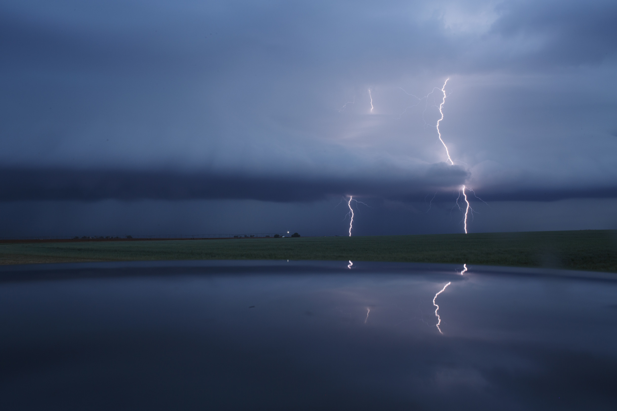
Cloud to ground lightning strikes during a supercell thunderstorm in Lamb County, Texas, on May 9, 2017. Millions of people could be affected by severe thunderstorms in the Midwest.
Parts of the Midwest have received a severe thunderstorm warning, with “damaging wind and large hail” possible in the region.
On April 30, the National Weather Service wrote on X, the social media platform formerly known as Twitter: “Strong to severe thunderstorms will be possible across the Central Plains and Missouri Valley Tuesday. The main threats will be damaging wind and large hail. High elevation snow and low elevation rain will continue through Tuesday across the Northwest and Northern Rockies.”
Monday, powerful thunderstorms made their way through Louisiana and southeastern Texas—with storms affecting the area between Houston and Jackson, Mississippi, ABC News reported.
A map posted by the National Weather Service on X forecasts rain and thunderstorms across swaths of the Midwest and East Coast. Parts of Nebraska, Kansas, Missouri and Iowa have been marked for potential severe thunderstorms, which could bring wind and hail to the states. Newsweek has contacted the National Weather Service for additional comment via email.
The region has seen severe conditions in the past few days, including tornadoes that damaged buildings and resulted in the deaths of at least five people in Oklahoma on April 28, ABC News reported.
There have been more than 130 tornadoes reported since April 25, the outlet continued. The National Weather Service issued a tornado watch Sunday for parts of Arkansas, Missouri and Oklahoma.
Sulphur and Marietta, Oklahoma, both experienced tornadoes that registered a three on the EF Scale, which assigns tornadoes a rating between zero and five based on estimated wind speeds, the NWS reported. Their estimated peak winds were 165 to 170 mph. The agency said Monday that the Marietta twister would be upgraded to “a low-end EF4 tornado.”
More than 20,000 people were still without electricity hours after tornadoes struck late Saturday night, the AP reported.
The National Weather Service for Norman, Oklahoma, wrote on X Monday: “The Apr 27 Marietta tornado is the 1st tornado to produce EF4 damage in the state since May 9, 2016.”
In an update Tuesday, it wrote: “A few severe storms will be possible late this afternoon and this evening. Large hail and damaging wind gusts will be the main hazards, especially in the slight risk area.”
On X, Governor Kevin Stitt said Saturday that the State Emergency Operations Center was activated for severe weather across Oklahoma.
In Sulphur, the tornado started in a city park before making its way downtown, authorities said, flattening buildings and toppling buses as it went.
“You just can’t believe the destruction,” Stitt said on a visit to the storm-damaged town. “It seems like every business downtown has been destroyed.”
Start your unlimited Newsweek trial