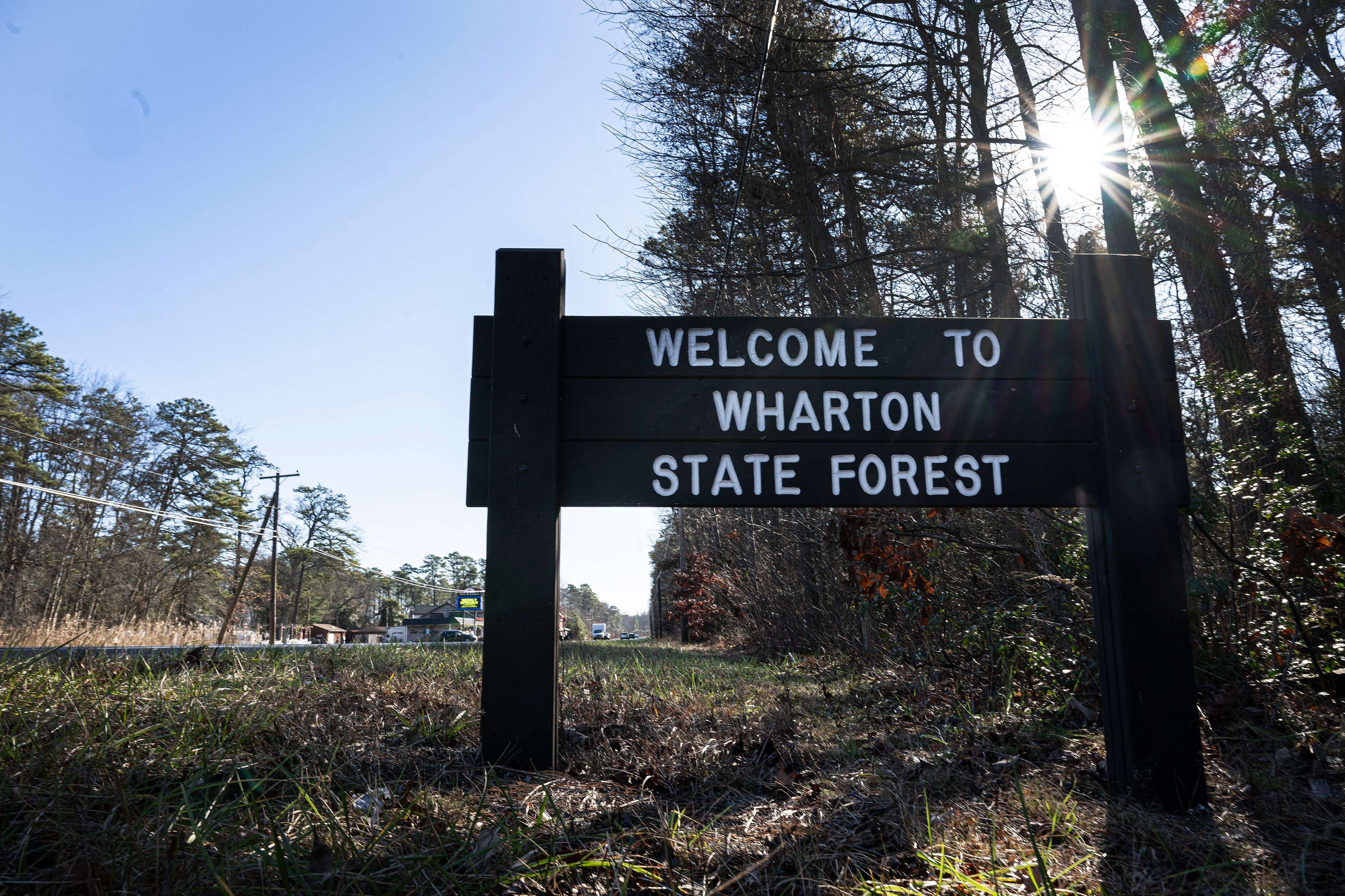
File: Sign for Wharton State Forest in Washington Township, N.J. The New Jersey Department of Environmental Protection is proposing 200 miles of roads for use within the park by legal motor vehicles.
Drivers have long motored through Wharton State Forest’s labyrinth of sandy roads for fun, to fish, or as a local short cut.
But the hundreds of miles of unofficial routes can traverse wetlands and historically sensitive areas and are sometimes used by drivers in 4x4s and trucks — up to 100 at a time during rallies. The current routes are tapped as a base by drivers of illegal off road vehicles (ORVs), which are designed to be driven on unpaved areas and include all-terrain vehicles and dirt bikes.
To rein in what’s seen as a chaotic situation, New Jersey Department of Environmental Protection officials this week proposed a years-in-the making map that outlines 200 miles of unimproved roads that motorists would be able to use, though far fewer than many are used to.
Officials say the designated roads will steer motorists away from some of the most ecologically sensitive parts of Wharton, the unofficial heart of the vast Pinelands National Reserve. However, the roads are allowed to be used only by legally registered vehicles, not ORVs that environmentalists say plague the 124,350 acres of Wharton.
“The goal here is to clearly outline safe legal routes through the state forest where visitors may drive vehicles that are street legal, registered and insured,” DEP Commissioner Shawn LaTourette said. “This map is intended to help visitors traverse what is a truly vast state forest to enable our state parks administration and our state parks police to better enforce rules against illegal offered vehicles, keeping our visitors safe, and ensuring the protection of our natural resources in the process.”
N.J. plan to manage off-road vehicles in the Pine Barrens draws 500 to meeting
Though the map is welcomed by environmentalists, one major motor vehicle group says it will severely limit recreational access.
“The new visitor map for Wharton State Forest is a wonderful opportunity for the public to understand where to go, how to get there, and what to do in the keystone of the Pinelands,” said Jason Howell, an advocate for the nonprofit Pinelands Preservation Alliance. “It also protects many of the globally unique habitats and landscapes that make the Pinelands such a special place.”
But Scott Ammerman, a program manager for Tread Lightly!, a nonprofit that promotes responsible use of motorized vehicles for recreation, said the map would prohibit hundreds of miles of roads people have used for decades.
“I would hate for this type of action to limit the recreational opportunities we have all grown up with in the region simply because of the actions of a misguided land management agency,” Ammerman said.
What is the DEP trying to do?
Wharton has two historic villages, nine campgrounds, and swimming pool that collectively draws 800,000 to a million visitors each year. But state officials say it has also become a haven for illegal vehicle use, frequently by motorists who go off road and destroy wildlife habitat and vegetation.
Despite the misnomer “Pine Barrens,” the Pinelands contain a mix of trees as well as 750 plant species, and 43 animals listed as threatened or endangered, including the Pine Barrens tree frog, timber rattlesnake and pine snake.
Efforts to create a map of legal roads began as far back as 2015 but faltered. The DEP picked up the effort again in recent years and conducted a survey with about 1,600 responses. The survey allowed participants to map their favorite areas of Wharton, which lies within the 1.1 million-acre Pinelands National Reserve. The most favored driving area was at Atsion Recreation Area through Quaker Bridge Road to Batsto.
“For almost a year we’ve been analyzing data from the public feedback and data that we have on hand regarding natural cultural historic resources,” said John Cecil, the DEP’s assistant commissioner for state parks, forests, and historic sites.
Cecil said a map used by the state’s Pinelands Commission suggests there are 510 miles of roads. But the DEP said 120 miles of those proved to be not really usable roads. That agency eventually settled on about 400 miles of possible routes but decided about half are too close to important natural, historical, or cultural areas.
“So ultimately, our proposed route map includes 200 miles of routes for vehicle use and driving,” Cecil said.
For now, the DEP has dropped the idea of requiring permits to drive on the roads, which was wildly unpopular. Most respondents wanted more enforcement of existing laws. In 2021, the state increased fines for illegal off-road vehicle use and damages from $250 to $500 for a first offense and up to $1,000 for a third.
Officials hope to step up enforcement with potential officers from among 12 currently enrolled in the police academy. The DEP also plans to more clearly mark roads from its map that will be usable for vehicles.
Why are some objecting?
Ammerman, with Tread Lightly!, said his group is against off-roading and illegal vehicles. But, he said the DEP is presenting road closure as the only option for legal vehicles, without first trying to educate the public and erect clear signs.
“Closure is usually irreversible,” Ammerman said, “so the most drastic measure should not be the first.”
He said the DEP’s map will “cause unimaginable recreation congestion, as the same amount of users will have to share less opportunities.”
What’s next?
The DEP has posted maps and a video on the proposal at njparksandforests.org/wharton. Officials will take public comments until March 9 before approving a final map which will allow drivers to find their location on the map through their phones, even in areas with no mobile service.
©2024 The Philadelphia Inquirer. Visit inquirer.com. Distributed by Tribune Content Agency, LLC.
News Related-
Russian court extends detention of Wall Street Journal reporter Gershkovich until end of January
-
Russian court extends detention of Wall Street Journal reporter Evan Gershkovich, arrested on espionage charges
-
Israel's economy recovered from previous wars with Hamas, but this one might go longer, hit harder
-
Stock market today: Asian shares mixed ahead of US consumer confidence and price data
-
EXCLUSIVE: ‘Sister Wives' star Christine Brown says her kids' happy marriages inspired her leave Kody Brown
-
NBA fans roast Clippers for losing to Nuggets without Jokic, Murray, Gordon
-
Panthers-Senators brawl ends in 10-minute penalty for all players on ice
-
CNBC Daily Open: Is record Black Friday sales spike a false dawn?
-
Freed Israeli hostage describes deteriorating conditions while being held by Hamas
-
High stakes and glitz mark the vote in Paris for the 2030 World Expo host
-
Biden’s unworkable nursing rule will harm seniors
-
Jalen Hurts: We did what we needed to do when it mattered the most
-
LeBron James takes NBA all-time minutes lead in career-worst loss
-
Vikings' Kevin O'Connell to evaluate Josh Dobbs, path forward at QB